
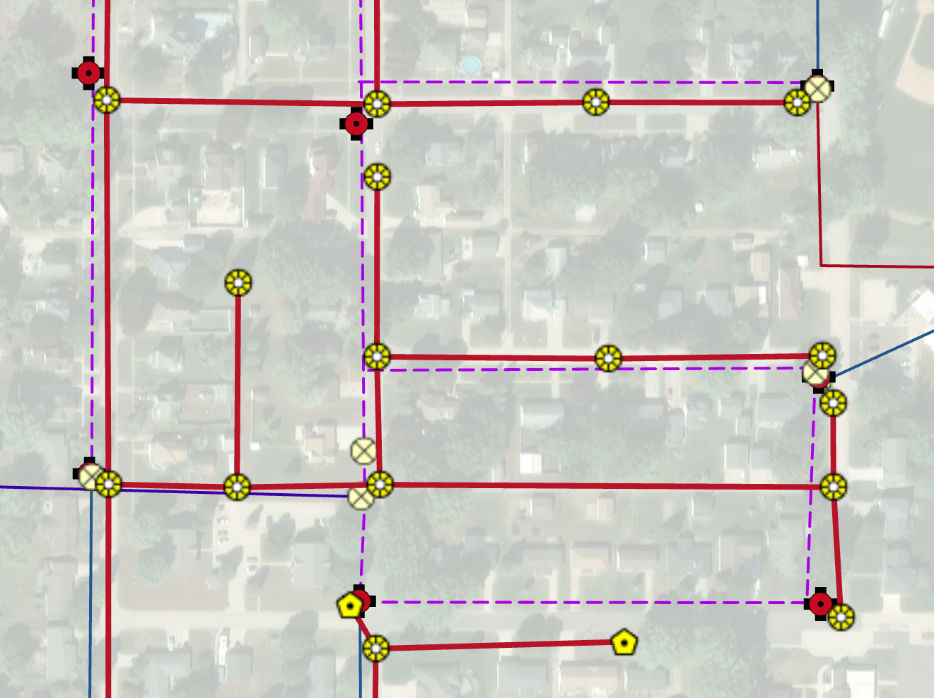
The Siouxland Interstate Metropolitan Planning Council (SIMPCO) recently supported several Ida County communities through its GIS & Data Analysis services, using high-accuracy GPS equipment to map critical infrastructure assets. These efforts included detailed mapping of manholes, water and sewer mains, water valves, and other key utility features.
SIMPCO’s GIS team collected precise geographic coordinates in the field and converted the data into an interactive, web-based mapping platform. This tool allows community staff to easily view, manage, and toggle individual infrastructure layers, providing immediate access to accurate and up-to-date spatial information.
The enhanced mapping improves utility management, supports proactive maintenance planning, and strengthens emergency response capabilities for local governments. Key partners in the project included participating Ida County communities and local public works departments, with services supported through SIMPCO membership and GIS program resources.
To find out more or if you are interested in doing a similar project in your community, contact Ryan Brauer at ryan@simpco.org.